
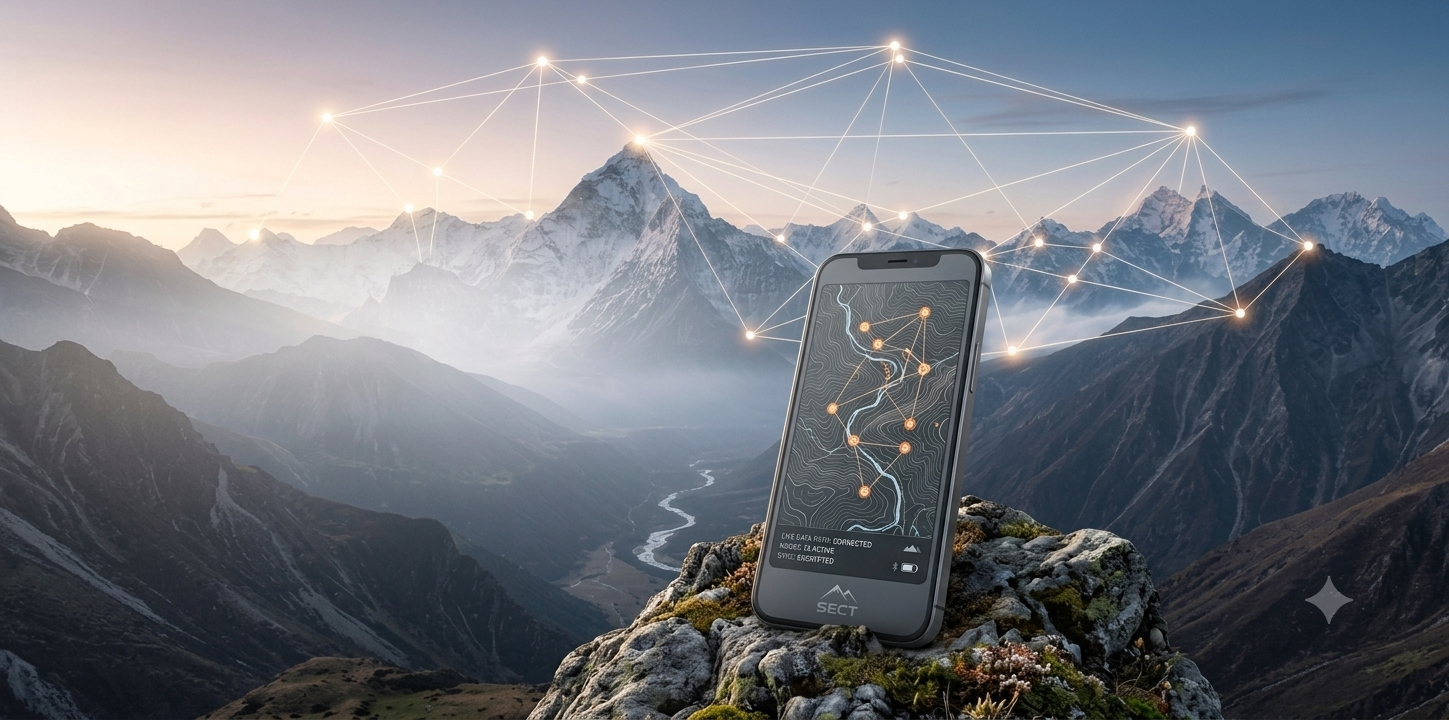
Where Every Step
Is Protected
The world's most advanced expedition safety platform. Military-grade encryption, intelligent SOS, and real-time tracking — designed for those who explore beyond limits.
Trusted by leading organizations



Built for the bold
Real-Time
Location Tracking
We capture your precise GPS coordinates throughout the trip — every stop, every check-in, every moment of your adventure.
Continuous GPS Logging
Your location is recorded automatically at every stop and check-in during the trip.
Trail Map & Route History
View your complete trail on an interactive map with timestamps and elevation data.
Offline-First Sync
Works without internet — data syncs automatically when connectivity returns.


SOS When You
Can't Call for Help
Intelligent fall detection, inactivity monitoring, and automated encrypted SOS alerts to your emergency contacts — with your last known coordinates.
3D Maps. Weather.
Elevation Intelligence.
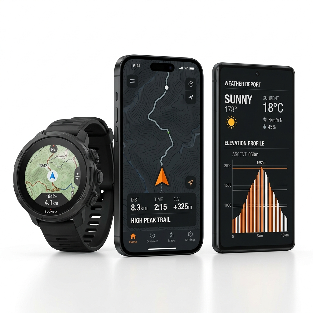
Satellite maps with 3D terrain, real-time weather at every point, and elevation profiles — even offline.
Offline Map Caching
Download before you go — works with zero connectivity
Weather Warnings
Thunderstorms & extreme temperature alerts
Elevation Profiles
Gain/loss analysis for every route segment
Three steps.
Total protection.
Create Your Trip
Set your destination and emergency contacts. Encryption keys generate automatically on-device.
Track & Log
GPS coordinates, altitude, weather, and check-ins log automatically — even without internet.
Stay Protected
SOS alerts auto-trigger if something goes wrong. Emergency contacts receive your location instantly.
Works With
Satellite Trackers
Pair with Garmin InReach, Spot, or our proprietary E2EE satellite node. Share encrypted coordinates across mixed networks — even in deep valleys.
Explore All Features“This app is a lifesaver! My safety vault shared my encrypted coordinates with my emergency contacts exactly when I didn't check in on time.”

Get In Touch
Questions about safety features, partnerships, or emergency support? We're here for you.
Email Us
office@sunbirdesolutions.comEmergency
office@sunbirdesolutions.comPartnerships
office@sunbirdesolutions.comReady to Explore Safely?
Download Secure Trips and start your next adventure with confidence. Available on Android and iOS.